THE WALK
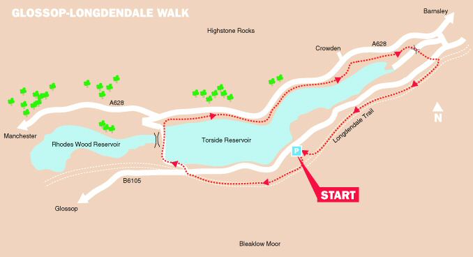
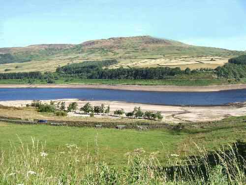
This is a short, but very rewarding walk around Torside Reservoir, one of five reservoirs in the beautiful Longdendale Valley, in north-Derbyshire. The reservoirs were formed in the 19th century by the damming of the River Etherow.
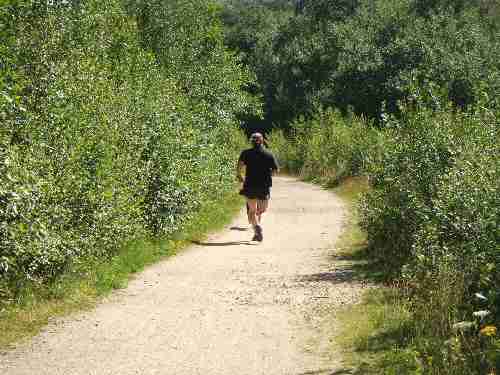
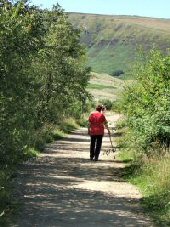
The Longdendale Trail runs along a disused railway line, which walkers, cyclists and horses now use. It runs parallel with the reservoirs in the valley, from Hadfield to the Woodhead Tunnel, along a wide, well-surfaced track for a distance of six miles. The Trans Pennine Trail, an international walking route which stretches from Liverpool to Istanbul, also utilises part of the trail.
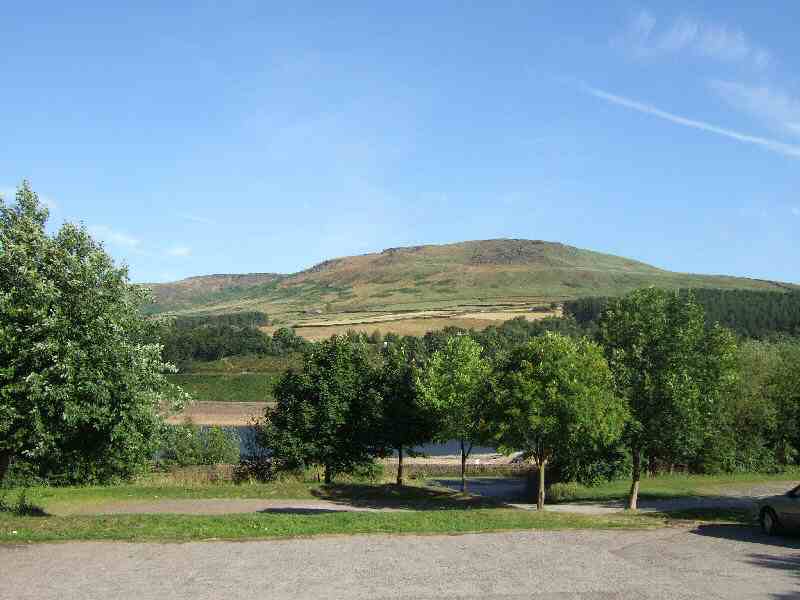
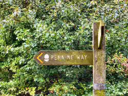
Here, the Pennine country is at its wildest on either side of the valley, and it is the home to a wide variety of wildlife, including mute swans, wading birds and even grey herons. Much of the heather-covered moorland is Access Land over which people are allowed to roam. The Pennine Way, the main north to south route through the Pennines, crosses the valley and is traversed for a short distance on the walk.
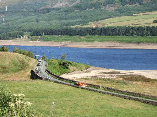
On the northern side of Torside Reservoir, the busy A628, carrying convoys of lorries across the Pennines, contrasts sharply with the peace of the valley.
LOOK OUT FOR
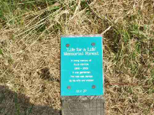
Route Point 2 – The Mayor of High Peak and Glossop opened the ‘Life for a Life’ Memorial Forest site in 2002. It is situated in breathtaking scenery adjacent to the Longdendale Trail. The forest is easily accessed from the car park on the B6015 linking Glossop with the A628.
Point 3 – The Longdendale Trail offers a beautiful and peaceful setting for walkers, cyclists, and nature enthusiasts. It follows the route of a former railway line, and stretches for 10 miles through the Longdendale Valley. The trail runs alongside five reservoirs—Woodhead, Torside, Rhodeswood, Valehouse, and Bottoms—constructed in the mid-19th century to supply water to Manchester.
WALK DETAILS
Length: 4 miles.
Start: Torside Car Park on the B6105 linking Glossop with the A628.
Terrain: Easy walking, mainly along the Longdendale Trail, the Pennine Way and the Torside Concessionary Path.
Refreshments: There is a wide variety of cafes, pubs and restaurants in Glossop and neighbouring villages to suit all tastes.
THE ROUTE
1. Walk to the top of the car park, where you will find a sign for the Longdendale Trail.
2. From this point, a tarmac path winds gradually uphill for a short distance, through the ‘Life for a Life Memorial Forest’.
3. On reaching the Longdendale Trail, turn right and walk along the trail for nearly a mile before arriving at the B6105.
4. Follow the railings by the roadside for a few yards before going through a gap to cross the road.
5. Once over the road, ensure you turn right to follow the Pennine Way footpath and not the Trans Pennine Trail footpath sign, which points in the opposite direction.
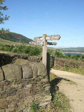
6. After following a tarmac path for 30 yards, turn sharply left, as indicated by the Pennine Way sign, down an access road to Torside Reservoir.
7. Cross the dam wall and, as the access road begins to bend to the left, go to the right at a finger post sign, up a flight of steps.
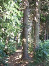
8. At the top where the path divides, turn right to continue following the Pennine Way through a pine forest.
9. A few yards after going through a stile, turn right along the ‘Torside Concessionary Footpath.’ The path gradually leads you through the trees down towards the banks of the reservoir.
10. Continue along the path until it bends to the left towards the road, about 75 yards from the A628 and Crowden Car Park, and turn right towards the Woodhead Dam.
11. Go to the right over a bridge, close to the dam wall that separates Torside Reservoir from the Woodhead Reservoir. Carry straight on up the service road to reach the B6105.
12. Cross the road and ascend a short path up to the Longdendale Trail. Turn right and when you reach the first car park sign at Torside, turn right through the Memorial Forest along the path that leads you back to the start of the walk.
GLOSSOP