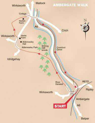
WALK DETAILS
Length: 6 miles.
Start: Ambergate Railway Station Approach. A few yards along the A610 at Ambergate Railway Station, off the A6, Belper to Matlock Road.
Terrain: Mainly easy walking, with moderate gradients. It can be muddy in places.
Refreshments: Bridge House Café at Ambergate and the Family Tree Café at Whatstandwell. The Hurt Arms at Ambergate reopens in 2026.
THE ROUTE
1. Walk back down Station Approach and turn left under the railway bridge, and then left again along the A6. Cross the road and follow the lane down by the side of the church.
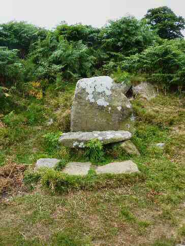
2. Go over the river bridge and turn right along a wide track, signed for the Betty Kenny Trail. When the track divides, take the right fork, which goes between several derelict factory buildings.
3. After leaving the buildings behind, maintain the same direction without deviation, before turning left at a finger post sign, for Alderwasley and Whatstandwell.
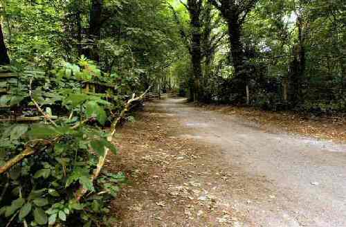
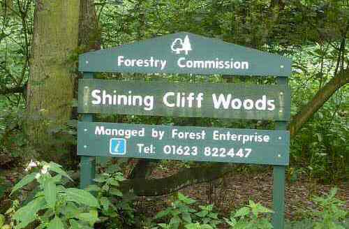
4. Follow the path as it climbs up through Shining Cliff Woods. Leave the wood by a stile, at first keeping close to the field boundary on the right.
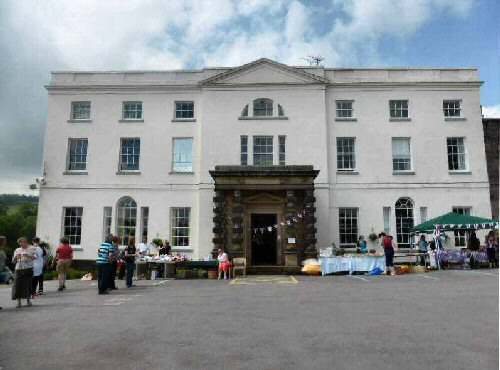
5. On reaching a marker post, follow the direction of the pointer, and maintain the same direction, aiming to the left of Alderwasley School.
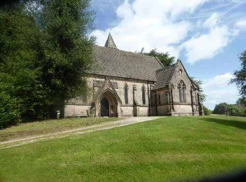
6. Walk close to the school playing fields to reach a minor road. Turn right and follow the road around past the entrance to the school and Alderwasley Church.
7. At a road junction, continue down New Road until directly opposite the entrance to Home Farm. Turn left, along a path marked for the Midshires Way and Derwent Valley Walk. Keep left along a field path to a stile. Turn sharp right down the next field to go through a gap in the hedge about 20 yards in from the right-hand corner.
8. Turn left and walk close to the field boundary to a stile you can see in front of you. Go up the next field, keeping close to the hedge on the right to a stile at the top. Immediately, you are over the stile, turn right over another stile at an intersection of pathways.
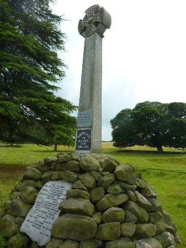
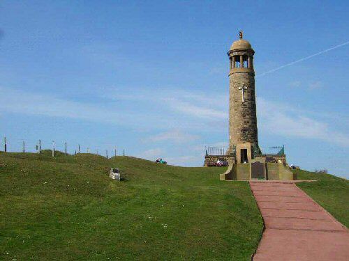
9. Continue keeping close to the field boundaries on the right, though a series of fields, with Crich Stand, clearly seen in the distance, acting as your guide.
10. After passing to the rear of Hankin Farm, follow the path to the right of a cottage and walk down the drive. Where the drive bends to the right, continue along the path in front of you through an area of woodland. At the bottom of the woods, turn right and walk to the road.
11. Cross the minor road, go over a stile and walk down to the A6 and cross the bridge over the River Derwent to Whatstandwell.
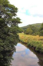
12. Walk a few yards up the road towards Crich, before turning right onto the towpath of the Cromford Canal.
13. On the outskirts of Ambergate, go under the first road bridge you encounter, but at the second bridge, leave the canal. Turn right down a lane signed for Ambergate Railway Station.
14. Go to the left at the bottom of the lane and then left again at the A610. Station Approach is on the right just after passing under the bridge.
AMBERGATE