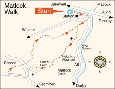
WALK DETAILS
Length: 5.5miles.
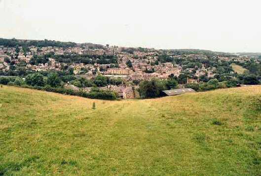
Start: Matlock Bridge. Car parking may be difficult at peak periods. Check facilities available before travelling.
Location: On the A6 Derby to Buxton Road.
Terrain: Hilly and can be wet and slippery underfoot.
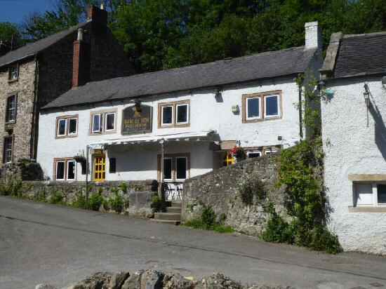
Refreshments: Bonsall has the Fountain Tea Rooms, the King’s Head and the Barley Mow public houses. Matlock has a range of teashops, public houses and restaurants to suit all tastes.
THE ROUTE
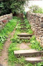
1. From Matlock Bridge, cross the A6 with the railway station on your right. Walk to the left of the former bank premises and keep left to follow the Limestone Way sign up a flight of steps into a field.
2. Partway up the field at a signpost, take the path to the left signed ‘Derwent Valley Walk’ and go through a stile and across a short field. Head for the top right-hand corner of the next field and go over two stiles to follow the path alongside the wall on the left.
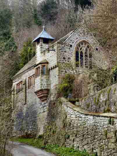
3. The path bends first right and then left before returning to the side of the wall as it leads you down to St John’s Road. Take a careful look at St John’s Chapel before continuing up the access road.
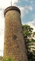
4. Turn sharp right by the entrance to Cliffe House up a narrow tree-lined path beside a high wall. The path bends to the left, emerging from the trees in a field by Masson Farm. Continue across the field and over a stile before following a signed path uphill over a further stile along an obvious path that begins to angle more sharply to the left. The Victoria Prospect Tower is to your left.
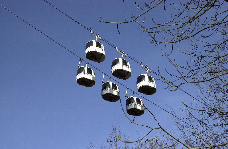
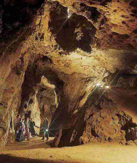
5. On reaching the side boundary of the Heights of Abraham, walk by the wall for a few yards to take a signed path to the left. The Great Masson Cavern is near this point.
6. Cross over a service road following the path through thick woodland. Turn right on leaving the wood past Ember Farm to walk down the lane into Bonsall.
7. Turn right and, within a few yards, go through the church lych gate and keep left through the churchyard before descending a flight of steps down to the road through the village. Go to the left down the road for a few yards and then turn right up The Dale.
8. In about 100 yards, take the path to the right leading up the hillside. At the top, turn left down a short slope to view the Barley Mow. Then retrace your steps and go to the left down a track by the first house.
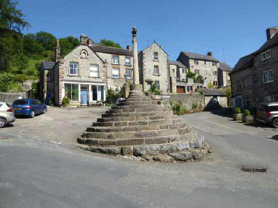
9. Cross two fields to reach the far corner in the second field, where you turn right over two stiles to follow a surfaced path (re-surfaced by German prisoners of war in the 1940s) down to the road through the village by ‘The Cross’. Go over the road to join the Limestone Way, which is clearly signed, and follow the walk up an enclosed path which bends sharply to the left and then right, eventually arriving at a ‘T’ junction of paths where you head uphill.
10. Continue straight on at a stile by a gate, but at the next gate take the stile on the right and angle across an open field to the left to walk alongside the wall opposite to a stile into a lane. Cross the lane and walk a short distance to a stile on the right. After crossing the stile, keep close to the wall on the left, drop downhill to go through a swing gate into a lane.
11. Turn right up the lane and after 30 yards go over a stile on the left to another stile in the bottom left-hand corner, through a small field and over the farm lane.
12. Walk down the following field close to the boundary, going to the left at a waymarker and then straight on along a clear path. With Masson Mount House on the left, go through a small field and some bushes to cross a private road, taking the stile opposite down the field to rejoin the path used at the beginning of the walk and return to the start.
MATLOCK