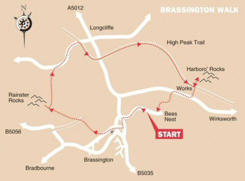
WALK DETAILS
Length: 5 miles.
Start: Wirksworth Dale Car Park.
Location: Between the B5056 Ashbourne to Bakewell Road and the B5035 Ashbourne to Wirksworth Road.
Terrain: A short climb out of Brassington, but generally easy going along moorland paths, quiet country roads, and the High Peak Trail.
Refreshments: Built in 1616, The Gate at Brassington was on a turnpike road and provided stabling for horses and refreshment for coachmen and remains extremely popular. – The Knockerdown Inn overlooking Carsington Water on the B5035. Dining and café facilities are also available at Carsington Water Visitor Centre.
THE ROUTE
1. From the car park, walk down Wirksworth Dale and turn left at the bottom of the road towards Brassington. Go to the right by the Village Hall and follow the narrow lane around to the right. At a crossing point of lanes, continue ahead along Hillside Lane with walls on either side, ignoring a permissive path on the right.
2. After passing a chapel converted into housing, directly opposite a house sign, Browntop, turn right into a field at a footpath sign. Angle to the left, at first and then follow the field boundary as it ascends. As the field levels out, with a wall a short distance in front of you, angle to the right to go through a stile onto a farm access road.
3. Do not cross the stile opposite, but walk down the road, ignoring another stile to the right, until you reach an access road just in front of you, and turn right along a Bridleway. At first, you go to the right, before bending to the left and then straightening out along a greenway.
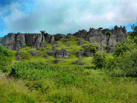
4. Follow the greenway past a small outcrop of rocks and turn left to go over a stile in the wall, about 50 yards from the bottom corner of the field. Walk to the marker post that you can see in front of you. From this point, you can continue straight ahead to explore Rainster Rocks before returning to the same marker post. As you walk up the field from the marker post, you angle slightly to the right towards the top corner. To go through a stile by a metal gate, to the north of the one you previously used.
5. Go through the stile by the gate, and walk along the wall side, ignoring the gate stile on your right. Continue keeping close to the wall on your right until just after passing a barn, you join a cart track and follow it to a minor road. Turn right and carefully follow the road towards Longcliffe.
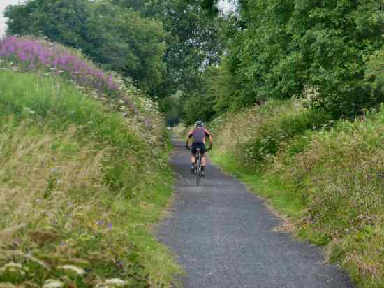
6. Fifty yards after passing under the High Peak Trail Bridge, go to the right along a surfaced track and then turn left down the High Peak Trail.
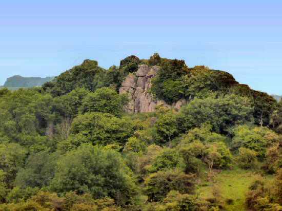
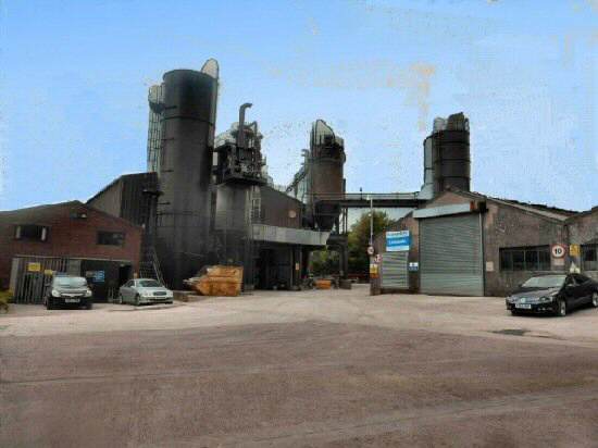
7. Follow the High Peak Trail for one and a half miles. You can then go to the left to explore Harborough Rocks, before returning to the same point and turning right immediately after passing an industrial plant.
8. On reaching Manystones Lane, turn right and after about 300 yards go over a stile in the corner of a field on the left. Head across the field, keeping close to the field boundary as it bends its way around, eventually arriving at a stile in the far-left-hand corner. Turn right and walk down the lane to the car park and picnic site.
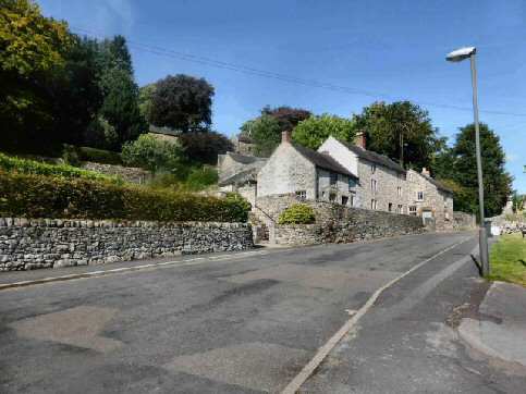
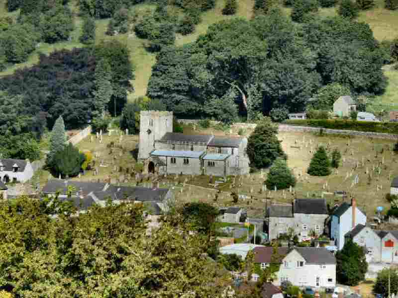
BRASSINGTON