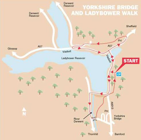
WALK DETAILS
Length: 4.5 miles.
Start: Heatherdene Car Park. It is best to arrive early at busy times as the car park fills quite quickly. There is very little available space elsewhere.
Location: Off the A6013 to the north of Bamford, this links at the northern end with the A57 Sheffield to Glossop Road and the southern end with the A6187 Hope Valley Road. Heatherdene car park is on the right-hand side of the A6013, when travelling in a northerly direction from Bamford, it lies between the Yorkshire Bridge Inn and the Ladybower Viaduct (SK203860).
Terrain: Good, easy to follow walking along good tracks and hard surfaces, with some short ascents and descents. The short section through Ladybower Wood can be rather muddy, but well-shod walkers should be able to ‘pick’ their way around the worst of it.
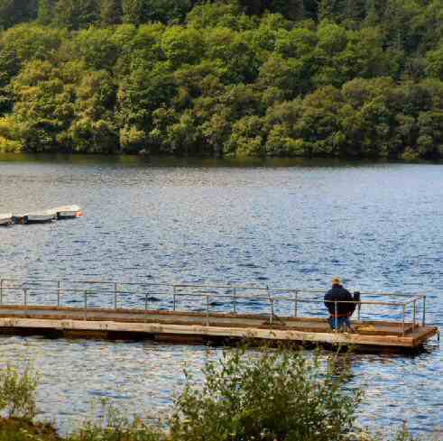
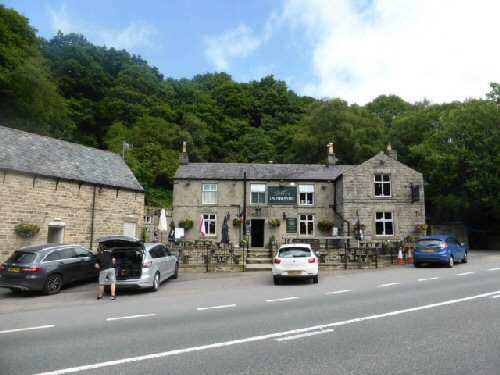
Refreshments: The Yorkshire Bridge Inn, located close to the Ladybower Dam, is a popular inn. Another good choice is the Ladybower Inn on the A57, overlooking the reservoir. A small kiosk at Fairholmes Visitor Centre sells hot and cold drinks and food. Picnic tables are available. There are toilets on site and a large pay-and-display car park.
THE ROUTE
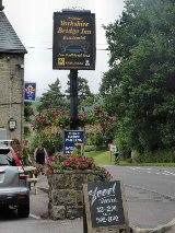
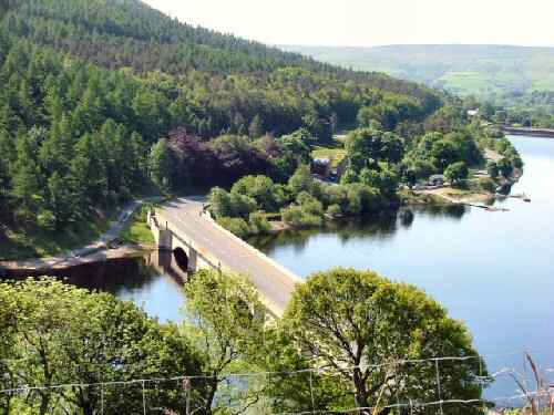
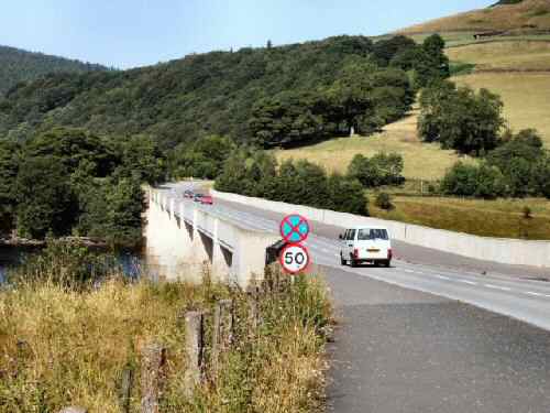
1. Walk back to the car park entrance and turn right along the A6015 to cross Ladybower Viaduct. On reaching the junction with the A57, turn right. After about 300yards, cross the road and immediately after passing the Ladybower Inn, turn left up a bridleway.
2. Continue walking forward for 100 yards before turning sharp left at a track intersection. The track leads you gently up the hillside, with the inn below on your left and Ladybower Wood on the right.
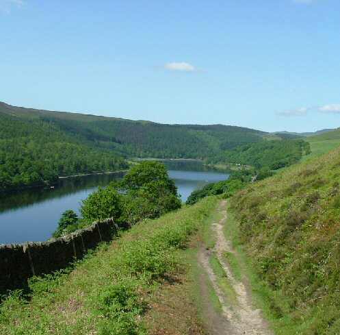
3. Maintain the same direction for nearly a quarter of a mile, before going through a stile by a field gate that leads you onto a moorland path from where there are superb views. The path climbs steadily close to a wall for the first part of the walk across the moor. After leaving the wall behind you, continue along an obvious path that soon starts to descend.
4. Go through a stile and onto a farm track and turn left, passing Ding Bank Farm and Ashopton Wood Yard. On reaching the bottom of the bank, turn left along the reservoir service road and left again onto the A57 at the end of Ashopton Viaduct.
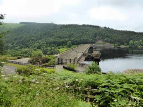
5. Walk back to the A6015, and turn right to cross the Ladybower Viaduct. Continue along the pavement past Ladybower Fisheries to reach the dam wall.
6. Here, you turn to the right to walk along the concessionary path across the dam wall.
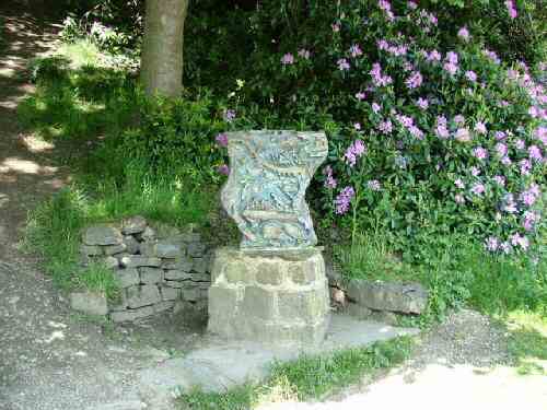
7. On reaching the far side of the dam, turn left down a service road, where you will pass a Touchstone Sculpture. At the end of the service road, turn left over a bridge (Yorkshire Bridge) over the River Derwent. Immediately you are over the bridge, take the footpath on the left signed for ‘Heatherdene.’
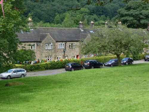
8. Here you angle to the right, crossing a grass track and going through some bushes. Ignore all the paths off to the right and gradually ascend towards the top corner of the bracken-clad field. Just before reaching the corner, keep to the left at a fork in the path. The hamlet of Yorkshire Bridge is a short distance away on your right.
9. Go through a gate stile in front of you and cross a footbridge. Follow the path through an area of woodland. On reaching a ‘T’ junction of paths, turn right with the dam wall in front of you and walk up to the A6013. Turn left along the pavement and at the end of the railings, cross to the other side of the road.
10. Climb the steps and turn left along the path at the top, which leads you back to Heatherdene Car Park and the start of the walk.
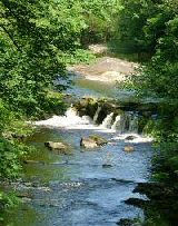
YORKSHIRE BRIDGE AND LADYBOWER RESERVOIR