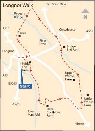
WALK DETAILS
Length: 4.5 miles.
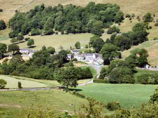
Start: The Market Place, Longnor.
Location: On B5053, off the A515 Buxton to Ashbourne road, 6 miles to the south-east of Buxton.
Terrain: Only modest ascents and descents, but it can be very wet and muddy in the river valleys. The signage is poor on sections of this walk, and extra care is needed. It is particularly advisable to carry an Ordnance Survey Map.
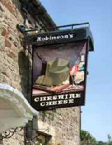
Refreshments: Cheshire Cheese Pub, Moorland Café, and Cobbles Café are all in Longnor and very popular. There are several other cafés, pubs and restaurants in the area and in nearby Buxton to suit all requirements.
THE ROUTE
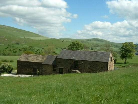
1. From Longnor Market Place, walk up the road towards Crowdecote (also spelt Crowdicote), turning left at the edge of the village up Dove Ridge. Keep to the right along a rough track to reach a barn, where you turn left in front of the barn and then immediately right to follow the path down to the River Dove.
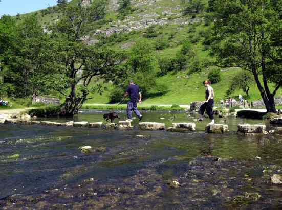
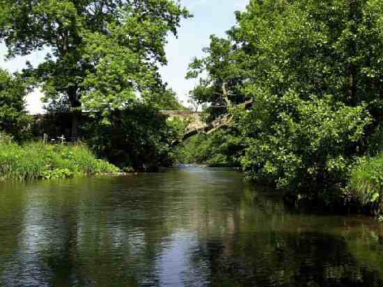
2. Cross the river at Beggar’s Bridge, and continue along a grass track to go over a stile at the far end. Immediately you are over the stile, turn right and go over another stile and cross a series of fields keeping close to the field boundaries on the left.
3. You soon join a farm track that passes Meadow Farm on the left, and leads to a quiet country lane, where you turn right towards Crowdecote. On reaching a road junction, go downhill and about 25yards past the Pack Horse Inn, turn left along a farm track leading to Bridge End Farm.
4. Just before reaching the farm, take the track on the right and follow it around a short distance below the farm buildings, then turn right again at a junction of tracks to re-cross the river by a footbridge. Here you have the choice of three footpaths – choose the one to the left, aiming slightly above the bottom left-hand corner of the field.
5. In the next field, continue in the same direction to go over a stile and footbridge a short distance up from the bottom of the field. You now angle slightly more to the right, to go through a small group of thorn bushes to a wall stile and then walk along the bottom of a field below Upper Whitle Farm.
6. Turn left along a farm track towards two barns that you pass on the right-hand side. From this point, angle slightly up the hillside to follow the path, just above a farm track, that is soon crossed at a hairpin bend. A few yards from the farm track, go over a stile and follow the field boundary round to a stile just above Under Whitle Farm.
7. The path continues above the farm before joining the farm drive. Leave it to walk diagonally to the left across two fields to reach the Sheen to Longnor road. Turn right along the road, and after a third of a mile, turn left through a gate along a wide, well-used footpath.
8. At the end of the track, go through a stile on the right and turn left to follow the wall down the field. The path soon bends to the right above a clump of trees to reach a stile on the far side of the field.
9. Head down the next field and walk through Over Boothlow Farmyard, leaving by the drive to the farm in the direction of the River Manifold. After a short distance, before reaching the river, turn right by two isolated stiles that no longer serve any useful purpose other than to act as guides.
10. Continue along an easy-to-follow route through a series of fields edging ever nearer to the river. Then, where the Manifold bends to the left, the path goes in the opposite direction, up the hill towards Folds End Farm.
11. Go through the farmyard, turn right up to the road, and turn left into Longnor Market Place, where the walk started.
LONGNOR