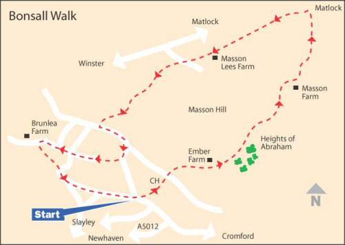
WALK DETAILS
Length: 5.5 miles.
Start: Park by the roadside at the bottom of The Dale by the Fountain, opposite the recreation ground.
Location: Off A5012, Cromford to Buxton road.
Terrain: Some moderately steep sections, but nothing too strenuous. OS Explorer Map OL24.
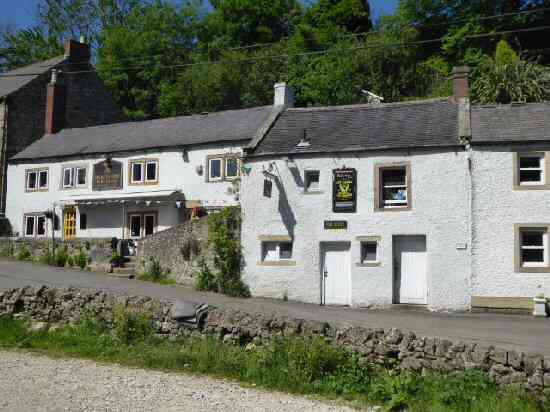
Refreshments: The Fountain Tea Rooms in the heart of the village. –Barley Mow Barley Mow, this friendly little pub stages the World Hen Racing Championship in August every year and has connections with UFOs – The Kings Head, established in 1677, a lovely old pub in the village centre.
THE ROUTE
1. By The Fountain, go through a stile to enter the Children’s Playground and ascend a flight of steps on the left towards the Churchyard. Keeping the church on your left and the school on the right, walk to the road. Here, you turn left and then, in a few yards, right into Ember Lane.
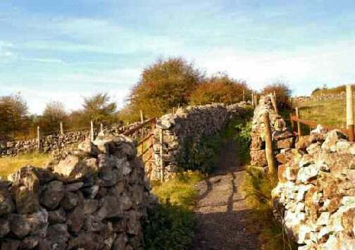
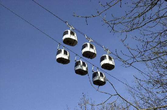
2. Continue up the lane and immediately after passing Ember Farm, turn left into an area of woodland. Follow a clear path that eventually passes behind the Heights of Abraham attraction and goes over a wall stile.
3. Follow the signed path diagonally to a stile at the bottom of the field. Angle to the left across the next field, going between two gateposts, into a field with a large collection of thorn bushes. Walk to within 50 yards of the bottom left-hand corner of the field and turn left through a stile.
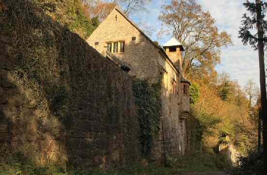
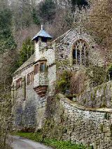
4. Keeping the field boundary close on your right, pass Masson Farm and follow the narrow path around the farm. Continue along a clear path through an area of woodland before swinging to the left and following a high wall, leading to the entrance of Cliffe House and cottages. Here you turn left and walk down the road.
5. Immediately after passing St John the Baptist’s Chapel, turn onto the path above the road through an area of woodland. After leaving the woodland, follow a grass track round a hollow in the field, before returning to a wall on the right. Keep alongside the wall and then cross two stiles into the field opposite.
6. Angle to the left along a path marked by edging stones to a gap in the hedge, maintain the same direction in the next field, with views of Matlock, before turning sharply left in the third field by the footpath marker post and walking to the top of the field.
7. Go over an access road and carry straight on for a few yards to reach a stile and cross the corner of a field to a gateway opposite. The path continues straight ahead along a clearly marked route, climbing up through a series of fields to cross a farm road to the right of Masson Lees Farm.
8. Continue diagonally right through a small field and in the next continue alongside the hedge on the right to a lane, where you turn right and then in a few yards left, by ‘Geoff’s Seat’.
9. Angle to the right across the first field, and after going over a stile, keep close to the wall on the right in the second. Go over the next stile you come to, cross the corner of a field and reach an access road.
10. After crossing the road, continue straight on over the next field until, after passing a barn, the path bends to the right to a stile in the hedge. Here you turn left and follow the track round as it gently descends. At a fork in the track, keep descending to the right and continue to maintain the same downward direction. You soon reach an access road to some houses, and shortly after that, you turn left onto the road through the village.
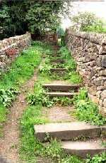
11. Turn right between the houses opposite Bonsall Cross and head up Stepping Lane, a narrow track with many steps. At the top, cross a small field to a stile 20 yards from the left-hand corner. You now continue along an easy-to-follow route through a series of walled paths and small fields to enter Bell Lane. Carry straight on at a ‘T’ junction of roads passing Hollies Farm.
12. After passing Brumlea Farm, the road swings to the left and just around the corner, turn left through a stile by a footpath sign, and descend a small valley through three fields. At the bottom of the valley, go down the road and then fork left down The Dale, opposite Bonsall Wesleyan Reform Chapel, passing the Barley Mow on the way back to the starting point of the walk.
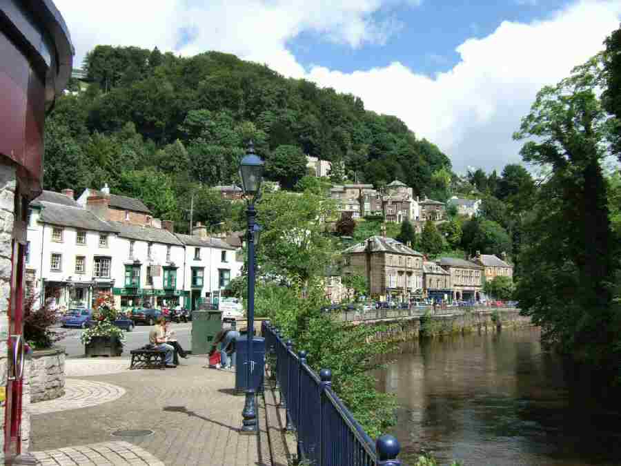
BONSALL