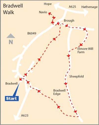
WALK DETAILS
Length: 4 miles.
Start: Brookside at the centre of the village.
Location: On B6049 between the A6187 Hathersage to Hope Road and the A623 Baslow to Chapel-en-le-Frith Road.
Terrain: Field walking followed by a long, steady ascent to Bradwell Edge. A steep and at times slippery descent back to Bradwell follows.
Refreshments: Ye Olde Bowling Green is a large, sprawling, but comfortable 16th-century pub at the foot of Smalldale. Open for breakfast, lunch, and dinner, with seating outside and good views. There are several other food outlets in the village, as well as the Brook Café Coffee Shop at Brookside.
THE ROUTE
1. From in front of Recreation Ground on Brookside, walk back to the main road, keeping right at the fork in the road. Cross the road to enter Soft Water Lane. After passing Wortley Court, turn right in about 25 yards and cross two small fields, angling slightly to the right of an industrial building. Cross a third field to a stile. Keep to the left at a fork in the footpath.
2. Maintain the same direction through a series of small fields, over the Grey Ditch and soon afterwards cross a road running at right angles to the footpath. Keep straight on past Lee House and across another short field, before angling very slightly to the left to go over a stile by a gate in the next field.
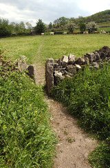
3. Continue with a wire fence on the right to cross a stile in the top corner of the field and a small stream. Follow a cart track for a short distance and then the hedge on the left in the next field. Where the hedge suddenly ends, you turn sharply left and walk to the bottom corner of the field.
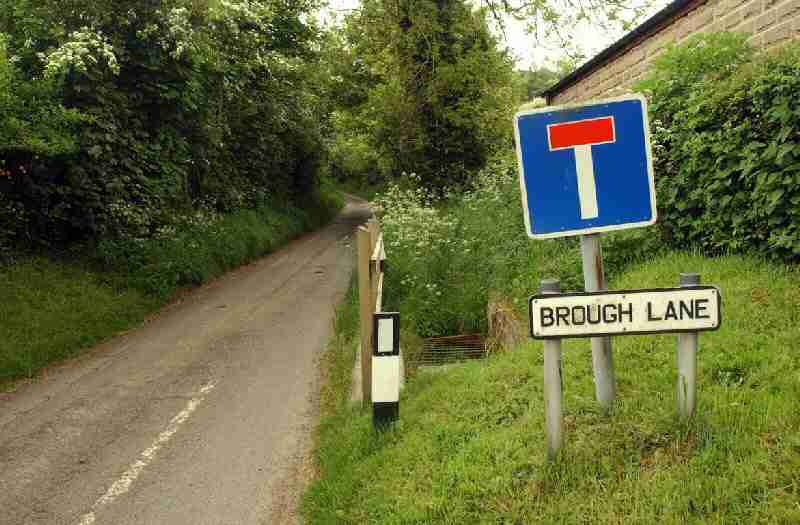
4. Walk along the bottom side of the field to a stile in the far corner, leading down a rough track behind a group of cottages. Go to the right at the rear of the cottages and on reaching Brough Lane, turn left and then left again at Brough towards Bradwell.
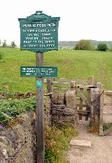
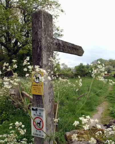
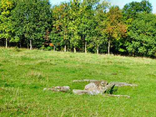
5. After only a few yards, turn right at the footpath sign for Hope and Castleton, and in about 200 yards, an Information Board points out the former Roman site of Navio. Here, you can take a short diversion by walking slightly to the right to reach the centre of the field and then continuing forward, keeping a careful lookout for what remains of Navio
6. Retrace your steps back to Brough Lane and follow it up to a point where it bends sharply to the right. You carry straight on along an enclosed path that soon starts to rise more steeply uphill.
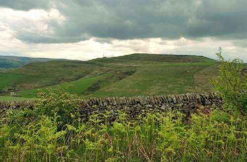
7. At the top of the hill, you enter an open field and turn right. Within a few yards, turn right again up the drive towards Elmore Hill Farm. Go into the farmyard, leaving after about 20 yards by a gate on the right next to a farm shed. Here, you walk to the southeast by the wall to a stile in the top corner of the field leading onto a rough track, turn left and follow the track along Bradwell Edge for just over one mile. Ignore the first path off to the right.
8. On reaching a gateway and a second footpath leading off to the right. Go over the wall stile on the right and follow the footpath across two fields with the wall close on your left.
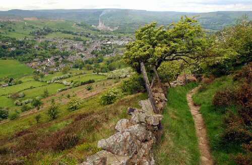
9. Bradwell is now clearly in view, and the path follows the wall for most of the way downhill, before arriving at an intersection of routes where you turn left and continue to descend. On reaching the outskirts of the village, you join an access road that winds around to The Green, where you descend a short flight of steps on the right.
10. Turn right down Church Street, cross the road at the traffic lights and make your way back to the start of the walk.
BRADWELL