CHESTERFIELD CANAL VISITOR
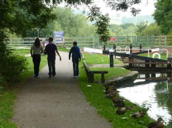
The Chesterfield Canal is 46 miles in length and stretches from Chesterfield to the River Trent. Although only part of the canal is navigable, from Chesterfield to Staveley. The towing path, known as the Cuckoo Way, is available to walkers. The strange name appears to have originated from the unique vessels which used the canal and were known as cuckoos.

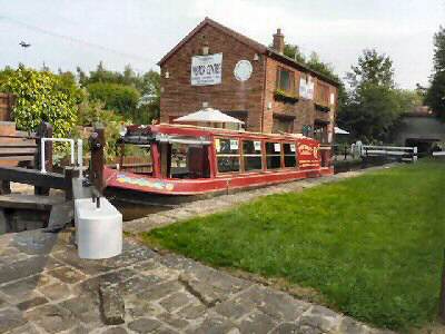
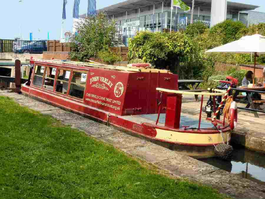
Tapton Lock is the only Visitor Centre on the canal and is open to the public for information, light refreshments, and gifts. The Derbyshire County Council Countryside Service has offices upstairs, and it is the embarkation point for the John Varley II, the Chesterfield Canal Trust’s passenger trip boat.
The John Varley II runs trips from Tapton Lock, located by the Tesco roundabout in Chesterfield, to Staveley. From the comfort of the boat, you can enjoy the five-mile cruise through attractive countryside and at the same time admire the restoration work carried out along the canal. The boat is suitable for wheelchair users and has a large wheelchair lift.
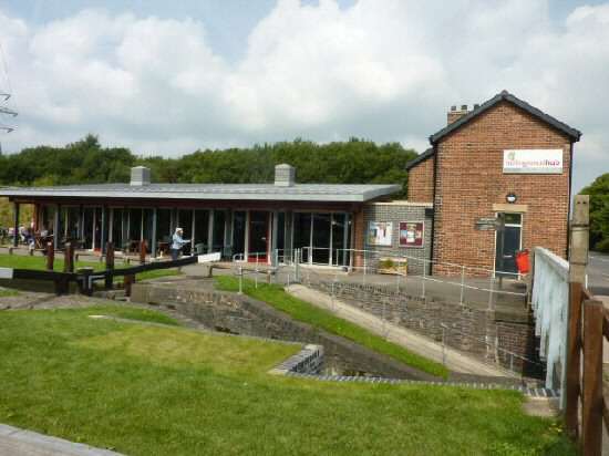
Hollingwood Hub is the restored and extended Hollingwood Lock House. The Hub is the home of the Chesterfield Canal Trust and the Chesterfield Canal Partnership. The offices of the Trust and the Partnership are in the old Hollingwood Lock House. It is on the road between Staveley and Barrow Hill. It could make an alternative starting point for a walk along the canal – the car park can hold 60 cars comfortably. There is a café on site. For more information, visit the Chesterfield Canal Trust website.
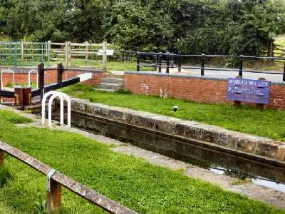
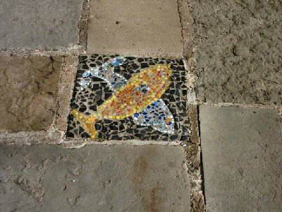
At Bluebank Lock are the remains of an old wooden barge that was recovered from the canal when it was dredged in 1997. It is thought the boat may have carried locally made cannonballs to be used at the Battle of Waterloo. Station Road crosses the canal at Brimington. On the Brimington bank of the canal to the towpath is The Mill public house, from where you get good views of Brimington Wharf. On the Chesterfield side of the bridge, there is a delightful collection of mosaics on the towpath.