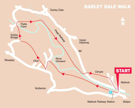
WALK DETAILS
Length: 5 miles.
Start: Matlock Bridge by the A6, almost opposite the Railway Station.
Location: Off the A6, Belper to Matlock Road, with Matlock Railway Station on the opposite side of the road.
Terrain: Mostly very easy going with nothing much by way of ascent or descent. Mainly along good paths and tracks through open countryside with excellent views.
Refreshments: The Square and Compass at Darley Bridge, near the halfway mark of the walk. There is a good selection of cafes, pubs and restaurants in Matlock.
THE ROUTE
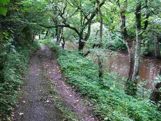
1. Take the riverside path (Derwent Valley Heritage Way) from Matlock Bridge, which is virtually opposite the railway station. The path leads you along the banks of the River Derwent and under the by-pass, past various industrial buildings.
2. After crossing a stile into a field, the path soon divides; keep to the right close to the river. Continue straight ahead to cross two further fields and then walk up an enclosed path, turning left at the top into Ashton Lane.
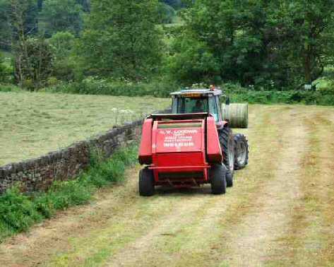
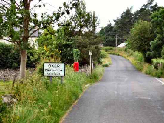
3. Follow the lane, passing another lane coming in from the right. Please remain on the lane until you are approximately 20 yards from its junction with Oker Road, where you go over a stile on the right into a field. Angle to the right towards the top corner of the steeply rising field and follow a clear path into a small area of woodland.
4. On emerging from the wood, turn right to pass between a derelict barn and a redundant gatepost. Follow the path around to the left past a route marker, along a discernible grass track. Pass through a gap into the following field. Continue down another field and go through a gap in some thorn bushes.
5. Maintain the same direction until the route divides, where you take the path to the right. Follow the well-trodden path as it starts to descend and goes through a gap into a second field. Keep almost straight on across the third field; the stile is a few yards to the right of some rushes.
6. Follow an obvious path to reach an access road. Keep to the road for about 100 yards before crossing a stile on the right and walking down the left-hand side of a field.
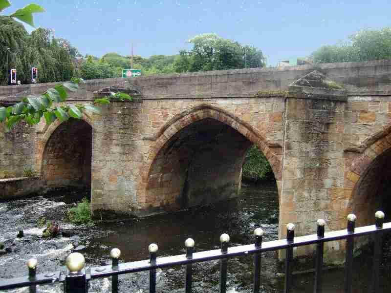
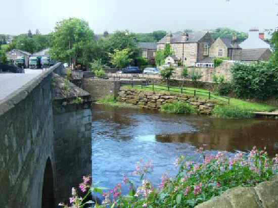
7. Walk down the following field, passing close to the hedge where it juts out, to reach a stile in the bottom left-hand corner. Go left and after a short distance, cross Darley Bridge over the River Derwent.
8. Just before reaching the Square and Compass Public House, take the right-hand path of the two paths by Flatts Farm. The path leads you along the right-hand side of a wall, through two fields before turning left and heading diagonally across another field to a stile.
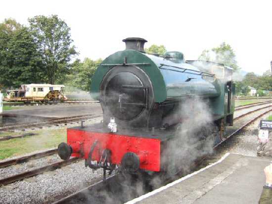
9. From this point, follow the obvious route to gain access to the Peak Railway; do not cross the line, but walk to the right by the fence. Continue along the permissive path by the line for approximately a mile. Then, with the A6 about 50 yards away on the left and the river close by on the right, go through a wide metal gate, cross the track and pass through a wooden gate.
10. Walk up a short path, cross the A6 road and turn right. After a few yards, take the surfaced path leading uphill on the left; the finger post sign is to the rear of the bus shelter.
11. Keep on the path over the top of a cul-de-sac and then an estate road, turning right when you reach a road called Hurts Hollow and continue down Dimple Road. On reaching the bottom of the road, turn left along the A6 and follow the road towards the centre of Matlock, going to the right over Matlock Bridge and across the River Derwent to the starting point of the walk.
DARLEY DALE