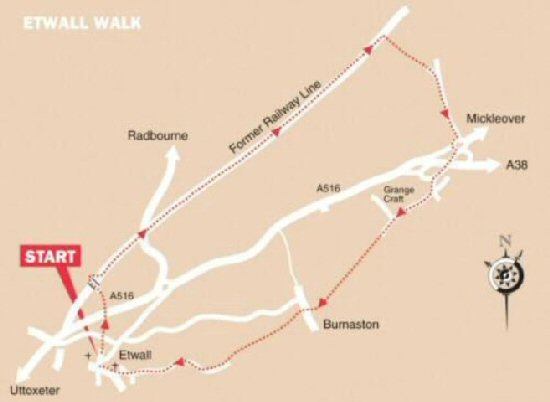
WALK DETAILS
Length: 6 miles.
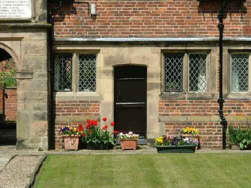
Start: St Helen’s Church, where there is usually some parking space on Church Hill, but please avoid service times. Alternatively, parking is available in the village.
Location: Off the A516 Derby to Uttoxeter road, take the ‘Etwall’ sign off the village bypass.
Terrain: Easy, level walking through fields and along surfaced paths.
Refreshments: The Hawk and Buckle at 46 Main Street serves food and describes itself as passionate about real ale. – Seven Wells, a Greene-King public house on Heage Lane. – The Spread Eagle, 28 Main Street, is a traditional drinking pub.
THE ROUTE
1. Walk up Church Hill, past Sir John Port Almshouses, and on reaching the entrance to Etwall Cricket Club, continue down a narrow path, with the cricket ground on the other side of the hedge. Cross Sutton Lane and keep straight on down the track opposite to a stile at the bottom.
2. Cross the stile and turn sharply left and follow the field around to reach a stile down to the Etwall bypass. Danger, this is a busy, fast-moving road, and you may have to wait patiently for a suitable opportunity to cross.
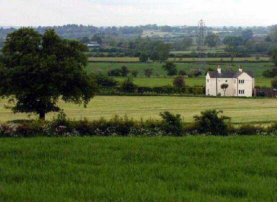
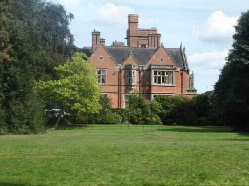
3. Once across the road, ascend a flight of steps and cross a stile into a field. Keep the hedge close on your left until it bends sharply to the left. Then continue ahead towards a metal gate, beside it is the stile you need to cross. Ashe Hall is only a short distance away to the east, just beyond Etwall Brook and hidden by the trees.
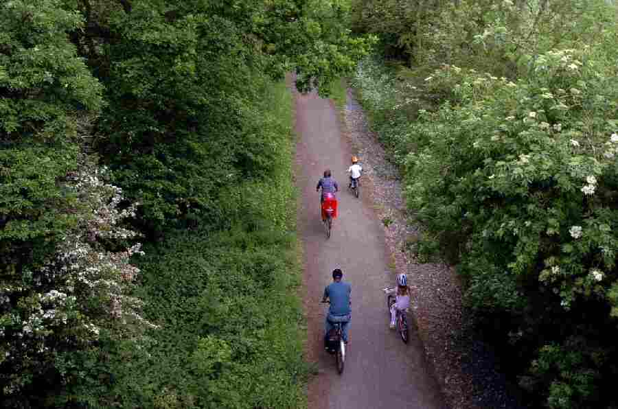
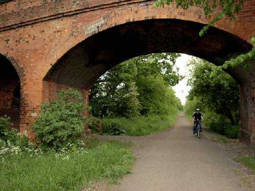
4. Cross the bridge over the former Great Northern Railway Line and immediately turn right to descend a flight of steps to the surfaced path below, where the railway track used to run.
5. Walk in an easterly direction, up the path for about two and a quarter miles until you see a fingerpost sign at Black Wood. Here you turn right to follow an obvious path past fields on your right and a new estate of houses at Mickleover on your left.
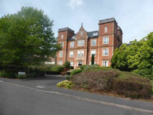
6. At the end of the path, go to the right down Greenside Court, and then turn right at the end along Ladybank Road, with Mickleover Manor set back from the road on the left as you approach the roundabout. Cross the busy road with care, heading towards the Mickleover Court Hotel.
7. Continue along the pavement in a westerly direction and turn down the first road on the left, then turn right along Hospital Lane, which leads into Merlin Way. The former Pastures Hospital is to the rear of the row of houses you pass. When the road bends sharply to the left, you carry straight on down a tarmac path leading to the top end of a cul-de-sac.
8. After about another 75 yards, follow the pathway indicated by a finger post sign. At first, the path is enclosed, but soon opens out and follows an obvious route to a track just to the left of Bushy Cottage. Cross the track and angle slightly to the right across the field, heading for the stile in the bottom right-hand corner.
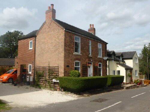
9. Turn right down a grass track and, within a few yards, go left at a footpath sign into a field. Continue up the field and walk on the left-hand side of a wooden fence near the top. Go over the stile at the top of the field and walk between some houses, and descend a flight of steps to the road through Burnaston village.
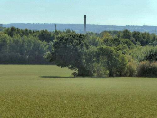
10. Turn right down the road, and after a few yards, go to the left down Tinderbox Lane. Enter a small field and follow the boundary around to a stile on the left, turn right and keep close to the hedge in the next field. Cross two stiles divided by a track and continue straight on to a stile at the top of the field. There are distant views to the south of Toyota on this section of the walk
11. Once over the stile, keep to the left through a copse to reach the next field and continue straight ahead along an obvious track leading to Sandypits Lane.
12. Follow the lane around as it winds its way into Etwall, turn right at a road junction along Willington Road and then right again at Main Street, from where you can see Church Hill on the opposite side of the road and the starting point of the walk.
ETWALL