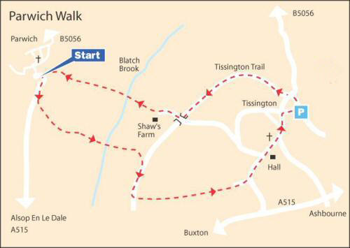
WALK DETAILS
Length: 4 miles.
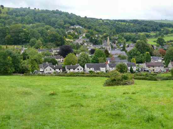
Start: There is a car park on the eastern side of Parwich, situated on your left as you enter the village from the B5056 (SK187544). The walk may also be started from Tissington Trail Car Park by following the trail walk instructions from Point 7.
Location: Parwich is situated between the A515 Ashbourne to Buxton Road and the B5056 between Fenny Bentley and Grangemill. For those starting from Tissington, the village is off the A515 from Ashbourne (3.5 miles) to Buxton Road. (SK175524).
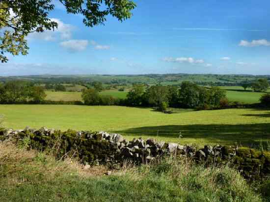
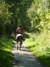
Terrain: Steep ascents and descents from the Bletch Brook. Muddy patches are likely in wet weather. Walking is easy-going around Tissington and along the trail. There are several access points along the Tissington Trail, so if you want to follow the route instructions, please keep a careful lookout.
Refreshments: The Sycamore Inn, situated on the eastern side of Parwich, is an excellent example of a traditional village public house that also doubles as the village shop. Herbert’s Fine English Tearooms (formerly the Old Coach House) serves breakfasts, lunches, snacks, and afternoon teas, all served on vintage crockery in beautiful surroundings. A kiosk on the Tissington Trail by the car park is open during busy periods.
THE ROUTE
1. Turn left out of the car park and walk past the Sycamore Inn, turn left again at a footpath sign and then right after a few yards at a path crossing point. It takes you along a narrow path by the side of a small stream to reach the road to Alsop-en-le-Dale. Continue ahead until after passing the entrance of Brook Close Farm, you turn left through a gate stile and then turn right into a small enclosure.
2. After going through another gate stile into a field, keep straight on for a short distance. Then, turn left up the field, angling slightly to the right, to a stile about 50 yards from the top corner. Head up to the top right-hand corner of the next field and turn right onto a narrow tree-lined track, which you follow for 40 yards before going over a stile and turning sharp left.
3. Continue close to the field boundary on your left, to go through a gap by a redundant stile. Then, angle to the right through a cluster of thorn bushes. Cross a footbridge on the far side of the field. Turn left and then at the bottom of the field, cross the footbridge over the Bletch Brook and continue ahead across a short field.
4. Walk straight up a long field and follow the steeply rising path through a series of bushes and trees to the top corner of the field, to reach a stile by a metal gate. Go diagonally to the right across the next field to a stile, which leads onto a bridge that crosses the Tissington Trail. Do not cross the bridge, but turn sharp left alongside the wall to gain access to the trail.
5. Immediately you are on the trail, turn back under the bridge and continue for 500 yards, before going left at a footpath sign for ‘Tissington’. Cross the first field heading towards the top right-hand corner. Then, keeping close to the wall on the right, continue along a series of walled farm tracks and open fields before eventually turning left along a road into Tissington Village.
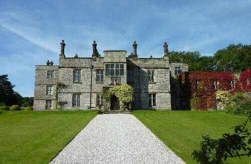
6. Continue straight on along the road past Tissington Hall and Hall Well. A few yards further along the road on the right is Herbert’s Fine English Tearooms (formerly The Old Coach House).
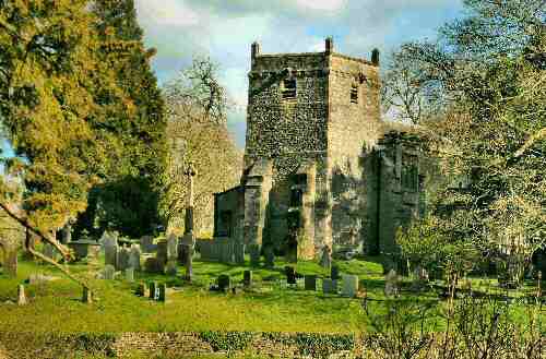
7. Where the road forks by St Mary’s Church, go to the left and continue along the road. Shortly after passing the village pond, turn right into Tissington Trail Car Park.
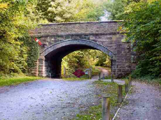
8. Head up the trail from the former Railway Station under a bridge and continue for 800 yards (take care not to come off the trail too soon), then just before reaching another bridge over the trail, walk up the ramp on the left and turn right along a track over the bridge onto the Limestone Way.
9. Follow the track towards Shaw’s Farm, until a few yards after it has begun to curve, turn right at a finger post sign and head straight down the field to a stone step stile. Continue in the same direction down two further fields and cross a footbridge over the Bletch Brook.
10. Climb straight up the field, passing close to an electricity pole on your left to a stile. In the next two fields, maintain the same direction with the hedge close on the left.
11. Drop down the next field to a stile 20 yards in from the bottom left-hand corner. Here you turn left and follow a clear path to a stile, where you turn right into Parwich, to follow the path you used at the start of the walk.
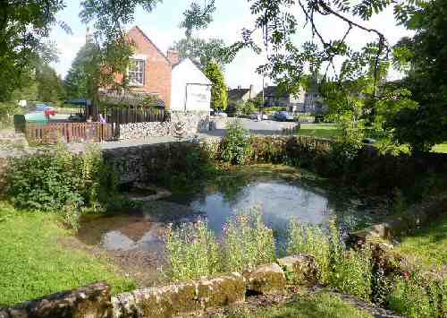
PARWICH
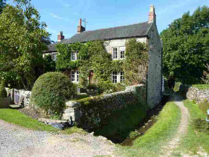
TISSINGTON