TADDINGTON TO THORNHILL TRAIL
A TO Z – DERBYSHIRE AND THE PEAK DISTRICT – CHAPTER 48
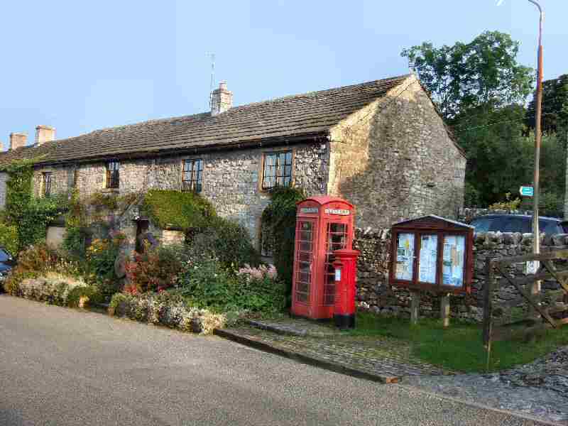
TADDINGTON (off the A6 Bakewell to Buxton Road – SK145711)
Since the construction of the A6 by-pass, Taddington has returned to its former days of peaceful tranquillity. At over 1,100 feet above sea level, it is one of England’s highest villages. It is an ancient place, and evidence of settlers in the area has been revealed a mile and a half to the southwest of Taddington, at Five Wells, where a Neolithic Chambered Tomb has been found. At 1,400 feet, it is the highest site of its kind in the United Kingdom. Across the A6, in the same parish, archaeological evidence suggests that the Celts grew oats in the Priestcliffe area. Arable crops are scarce in this part of Derbyshire due to the soil being generally too thin and infertile.
The Parish Church of St Michael and All Angels, with its splendid broach spire, is a dominating feature in the village. It dates back to at least the 12th century, although a chapel may have stood on the same spot as early as the 4th century. It was rebuilt in 1350 and subsequently underwent substantial restoration. Likened to Tideswell’s ‘Cathedral of the Peak’ and described as ‘One of the prettiest and best-proportioned churches of the Peak.’ The Lych-gate provides a fine entrance to the well-kept churchyard.
An inscription on a stone fragment in the church porch bears the words, ‘Here lyeth the body of William Heward, who departed this life, 19 November 1718, aged 218’. Taddington’s climate may well be healthy with plenty of clear, fresh air, but that is taking things a little too far!
TANSLEY (turn north off the A615 Matlock to Alfreton Road into Church Lane – SK323598)
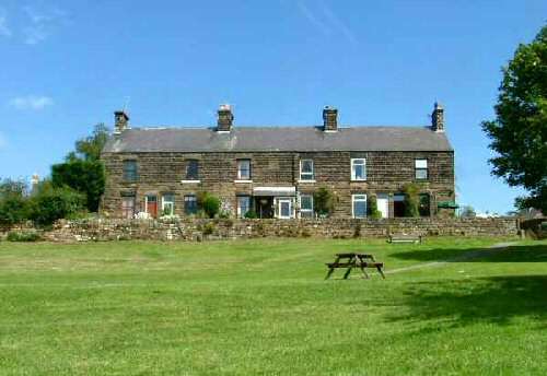
The village has a green with a play area, a football field, and an events area, as well as village and community halls, two churches, a primary school, and two pubs. Few, if any, small villages anywhere in this country are as well endowed with garden and horticultural centres as Tansley. All of which makes it stand out from many other villages.
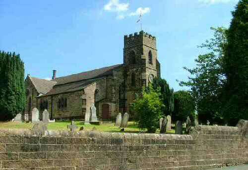
On Church Street stands the Anglican Holy Trinity Church, built in 1840. Another 52 years after that, Revd. J Brodie Mais became rector of the parish. At the time, he was in poor health and not expected to live many months. His predecessor had died within twelve months of his appointment, and the rector before that had not been a strong man. The future seemed rather bleak for both church and rector. Fortunately, the rector’s health improved, and 50 years later, at over 80 years of age, he was still in office.
The autobiography of the rector’s son, An Unrepentant Englishman, was published several years ago. It told the story of S. P. B. Mais, who became a well-known and well-loved national figure in later life. After leaving Oxford University, he entered teaching and then journalism with the Daily Telegraph. He wrote over 200 books, including novels, textbooks, poetry, topography books, and an autobiography. However, it is as a broadcaster for the BBC that he is best remembered, especially during the Second World War, when his Kitchen Front and Microphone at Large programs drew large audiences. He even presented a Letter from America, 13 years before Alistair Cooke began his marathon stint.
TAPTON LOCK (on the Chesterfield Canal, northeast of Chesterfield)
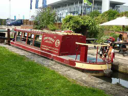
Tapton Lock is the site of the only Visitor Centre on the Chesterfield Canal. It is one of the bases for the Derbyshire Countryside Ranger Service as well as the embarkation point for the John Varley, Chesterfield Canal Trust’s passenger trip boat. It is open to the public, offering information, refreshments, gifts, books, and maps. The southern link of the Trans Pennine Trail can be accessed here.
TAXAL (5 miles northwest of Buxton, off the B5479 Macclesfield Road – SK007798)
Taxal is a tiny village in Derbyshire. It was in Cheshire until boundary changes in the 1930s. The most notable building in the village is St James’ Church, which is Grade II* listed. Only fragments of the medieval church remain. Taxal is a popular starting point for walks in the Goyt Valley; those who prefer climbing head for Windgather Rocks, located to the west of the village.
THOR’S CAVE (off the Manifold Way between the Wetton to Grindon road and Wetton to Butterton road)
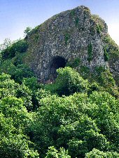
A footbridge and a steep and sometimes slippery climb take you up to the cave from the valley floor. The cave can be seen from a distance and is one of Staffordshire’s most important viewpoints. Samuel Carrington, the Wetton schoolmaster, excavated it in the 19th century when he discovered many relics of prehistoric man. Lower down the cliff are several small caves just above water level. Rock climbers use the area around the cave, with some of the climbs officially rated as very severe. The cave has been used as the location for several films, including the 1988 film “The Lair of the White Worm,” directed by Ken Russell and starring Hugh Grant.
THORNHILL TRAIL (runs from Ladybower Dam down to near Bamford station)
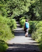
Thornhill Trail runs along a former railway line. It is composed of a mixture of grass and compacted stone. The line was developed to carry stone from the railway sidings at Bamford to Fairholmes when the Derwent and Howden dams were under construction during the early 1900s. In the 1930s, when work commenced on the construction of the Ladybower Reservoir, it was reopened as a timberline. When it no longer served any useful purpose, the Peak District National Park Authority purchased it, and it is now a bridleway and footpath.