VIA GELLIA TO WARSLOW
A TO Z – DERBYSHIRE AND THE PEAK DISTRICT – CHAPTER 52
VIA GELLIA (along the A5012, Grangemill to Cromford road)
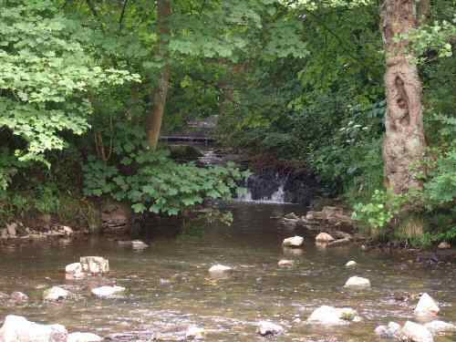
Philip Gell built a road through the Griffe Grange Valley in the 18th century. It was given the name Via Gellia, as a consequence of the ‘Gells’ alleged Roman descent. The purpose was to improve access between the family lead mines at Carsington and the lead smelter at Cromford. Now the valley, as well as the road, is more commonly known as the Via Gellia.
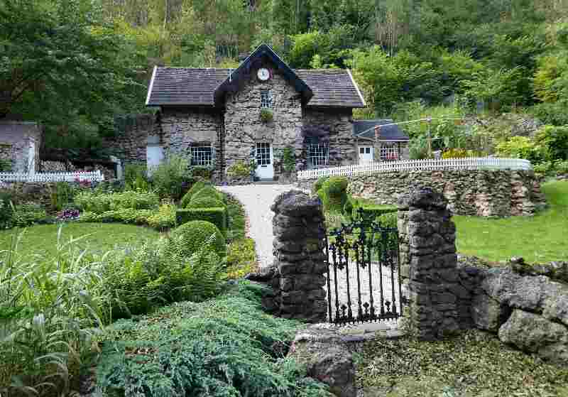
Early in the 19th century, seven mills were set at different levels along a two-mile stretch of the Via Gellia from Cromford. The trade name Viyella originated from the fabric produced at one of the textile mills in the valley. On the steep hillside, where the Bonsall road meets the Via Gellia, a skull, thought to be that of a mammoth, was discovered at the entrance to a cave. Further up the valley, Tufa Cottage is a most unusual structure, constructed of Tufa, a form of calcified rock.
WALTON-UPON-TRENT (4 miles southwest of Burton, on the east bank of the River Trent – SK216180)
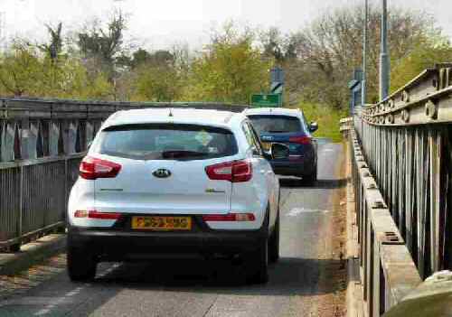
The old village was originally located to the south of the present one and stood on the earthworks of Borough Hill. It was an ancient fording point of the River Trent before an iron bridge was built across the river in 1834. The bridge lasted over 100 years, but floods and the severe winter of 1947 led to its replacement. The Royal Engineers built a temporary Bailey bridge on top of the old bridge. It was replaced in 1974 with a more modern version of a Bailey bridge. At the time of writing, there are plans to create a bypass and build another bridge. Walton Hall was built between 1724 and 1729 to replace the old timber-framed hall and is in a commanding position overlooking the river. St Lawrence’s Church is thought to have Anglo-Saxon connections. Today, Walton has grown into a sizeable village.
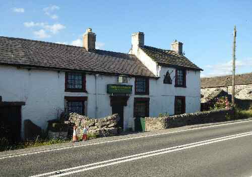
WARDLOW (2 miles east of Tideswell, on the A623- SK179755)
Wardlow and Wardlow Mires are little more than a scattering of farms, cottages, a small 17th-century pub and a Gothic-style church on the bleak limestone uplands. During the coaching era, there was a tollgate at Wardlow Mires, where Hannah Oliver lived until she was strangled on 15 January 1815. Anthony Lingard was found guilty and hanged at Derby. His body was brought back on a cart, hung up on a gibbet, and left for all to see.

WARSLOW (between the A523 Ashbourne to Leek Road and the A515 Ashbourne to Buxton Road – SK087587)
Standing at almost 1,000 feet above sea level, Warslow is a surprisingly large village for what is a fairly remote part of Staffordshire. Formerly an estate village of the Harpur-Crewe family of Calke Abbey in South Derbyshire, it is composed mainly of pleasant stone-built properties with a church provided by Sir George Crewe. The village lies to the west of beautiful, wild moorland country, but to the east, the countryside is far less forbidding.
Visitors are most drawn to the gloriously rugged Manifold Valley. This spectacular limestone gorge stretches southward from Hulme End to Waterhouses. The Domesday Book records Warslow, under an entry for Alstonefield Manor, which may indicate it had been a separate estate before the Norman Conquest. Signs of habitation in the area, though, go back much further; a Bronze Age barrow has been discovered on the northeastern side of Warslow.
