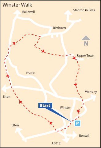
WINSTER WALK

Elton Turn
Elton Turn

THE WALK

Ancient Britons and lead miners were once very much in evidence on this fascinating walk. At one time, you could even meet a hermit anxious to guide you on your way and keep you safe from harm.

During the early part of the walk, the remains of miners’ huts are in evidence along the track. Miners used to supplement their income by keeping cows.

The Hermit’s Cave at Cratcliffe Rocks was, at one time, home to a hermit. In the Middle Ages, hermits were looked on as holy men. Appointed to lonely places by a bishop, they rendered hospitality and assistance to travellers.

On arriving at Uppertown Farm, look out for the old village stocks sited in front of the farm. The route drops quite steeply from Uppertown into a valley that can be very wet at times. Fortunately, lead miners laid paving stones along the path to assist them on their journey to Mill Close Mine, near Stanton-in-Peak, where most of them worked when the mining boom in Winster ended.

LOOK OUT FOR

Route Point 1 – The name of the Miners Standard public house derives from the dish that local lead miners used for measuring ore – the miners’ standard! A small sign inside proclaims ‘pub of the year 1653’, the year of erection.

Point 2 – The Ore House is a short distance from the Miner’s Standard Public House. Here, lead miners deposited ore down a chute for safekeeping overnight, in a somewhat similar manner to the present bank night safe system.

Miners Standard Public House, Winster
Ore House, Winster
Ore House, Winster

Point 3 – The Portway, a very ancient highway that may date back before Roman times, is followed for the first part of the walk after leaving Winster. Dudwood Lane follows the route that was probably used by travellers long before the Romans arrived. It follows the line of the ancient Portway, which ran the length of the county. The Portway Lead Mine was to the east of Dudwood Lane.

Point 4 – Robin Hood’s Stride (also known as Mock Beggar’s Hall) is a rock formation on the Limestone Way that, from a distance, looks like a castle. The name Robin Hood’s Stride comes from the 14th-century legend that Robin Hood jumped between the chimneys of the rock formation.

Dudwood Lane (Portway)
Robin Hood's Stride
Robin Hood's Stride

Point 8 – It seems likely that the Birchover initially was sited at Uppertown on the road to Winster, where the farm beside the road used to be an inn. The Norman church and the village are no more; the stones used to construct them are scattered around the neighbourhood’s field walls and cottages. The stocks are still there outside Uppertown Farm; they were restored in 1951 by Mr J C Heathcote, but may not be in their original position.

Point 9 – Birchover’s village street descends gently from the outskirts of Stanton Moor, most of its fine old cottage buildings sheltering under a tree-lined ridge. It was built between the 17th and the 19th centuries of lovely pinkish stone from Stanton Moor quarries. The buildings face in all directions as they struggle to find level ground. More recent developments have taken place on the lower side of the street, with great care taken to ensure they harmonise with the rest of the village.

Uppertown Farm
Uppertown Farm
Birchover
Birchover

WALK DETAILS

Length: 5 miles.

Start: Winster Car Park, just off B5056 at the southern entry to the village.

Location: On the B5056 between A5012 (Cromford to Newhaven) and A6 (Matlock to Bakewell).

Terrain: Some short, steep gradients, but nothing too strenuous. It can be very muddy in places.

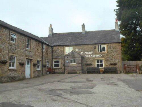
Refreshments: The Old Bowling Green dates to 1472, and is a privately owned traditional free house, offering good street food and drinks. – The Miners Standard is a 17th-century oak-beamed pub full of interest and character, serving home-made food and refreshment. – The Miners Standard top car park accesses the Bank Top Café.

THE ROUTE

Winster Walk
Winster Walk

1. From the car park, walk back across the B5056; the Miners Standard Public House is to your right, a few yards down the road.
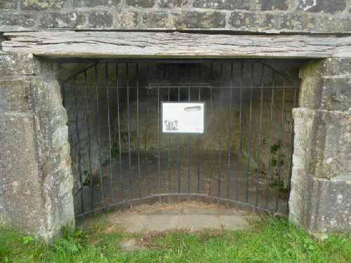
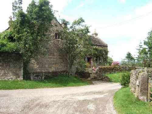
2. On your left is the Ore House, which is worthy of further inspection. Continue along the road towards Elton/Newhaven for a few yards before turning right down a rough track opposite a road coming in from the left.
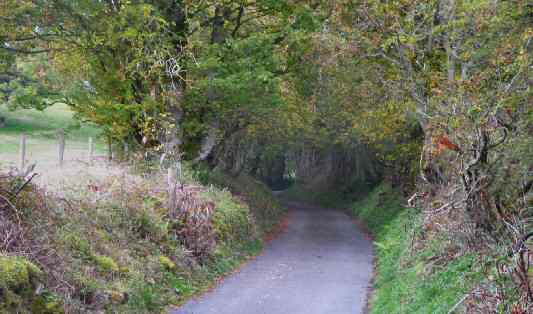
3. Follow the track down, crossing a farm access road, and shortly afterwards, go straight across a road leading to Elton into Dudwood Lane (Portway), past where the Portway Mine once operated.
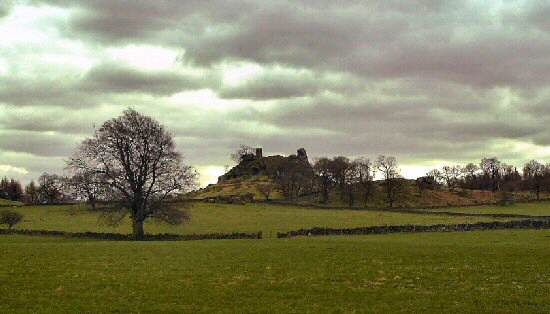
4. As you near the bottom of the lane, Robin Hood’s Stride and Cratcliffe Rocks come into view. Once you are at the bottom of the lane, turn right and then left along the B5056.
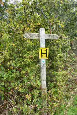
5. Walk carefully along the narrow verge of the B5056 for 100yards, before turning right at a footpath sign for Birchover.
6. Ascend a steep field, through a group of thorn bushes, to a stile at the top. Continue straight on along a farm track to the outskirts of Birchover, before turning right in front of some gates, with just beyond an attractive ornamental pond set in a large garden.

7. Follow the path up a short slope leading towards Rocking Stone Farm, but just before reaching it, go through a stile directly in front of you and turn sharply left.

Uppertown Lane, Birchover

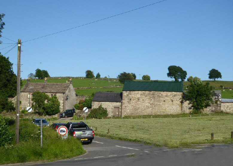
8. Keep the hedge close on your left across two fields, and continue along a narrow path. Maintain the same direction over three more fields, this time with the hedge on the right, before going down a track past Uppertown Farm to a rural road.
9. Turn left along the road towards Birchover, but only for about 20 yards, before going to the right along Clough Lane and then, after a few more yards, take the stile on the right just before Ivy House Farm and walk down a small field to a stile.
10. Follow a fenced path for a short distance, going to the right at the end and then left at a fingerpost sign to descend a short steep section heading towards a stile at the bottom of the field.
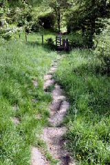
11. Go straight down the next field, through a stile and over a flagged path to another stile. Continue along an obvious path to join another flagged path as it winds uphill, eventually reaching a track and then a village road into Winster.
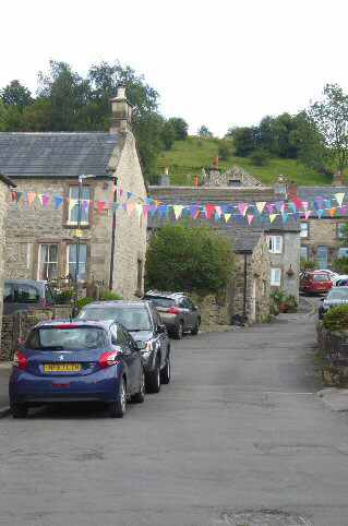
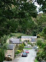
12. Turn left at the main street and almost immediately right, in front of the Market House and walk up the street going to the right where the road forks. Follow the road around until about halfway across the flat section, opposite Orchard Cottage, turn left and follow the path up a long flight of steps. At the top, turn right along the road that leads you back to the starting point of the walk.
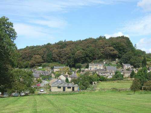
WINSTER

East Bank, Winster
East Bank, Winster
Winster Walk Map
Winster Walk Map
Limestone Way Sign
Limestone Way Sign